What owners and contractors miss by NOT adopting reality capture
.svg)
Quick Summary
Traditional jobsite tracking with photos and spreadsheets leaves gaps that slow communication and let small issues turn into costly rework. Reality capture closes those gaps with aerial maps, 3D models and 360 walkthroughs that give owners and contractors a shared, current record of the site from precon to closeout. That record catches problems early, cuts down on disputes and site visits and keeps every stakeholder aligned on the same data. The piece closes with a recording on why owners and contractors are adopting reality capture on their projects.
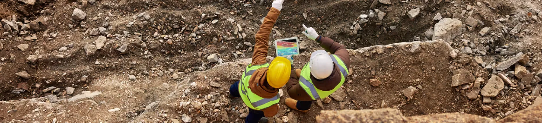
For years, owners and contractors have tracked jobsite progresswith photos and spreadsheets. That works as a record of what happened. It doesn't answer what's happening right now.
Owners and contractors need a clear, real-time view to stay ahead of costly mistakes and miscommunication. Reality capture offers a smarter way – delivering accurate, visual insights that keep projects on track and stakeholders in the loop. Without it, you're flying blind and risking expensive rework.
In this blog, we’ll explore how reality capture helps you gain total project certainty, spot issues early and keep everyone aligned. Let’s get started.
The pains of uncertainty on your jobsite
Managing a jobsite is tough, no matter the size or complexity. Without a clear, visual record of progress, small details slip past and turn into long meetings sorting out what actually happened.
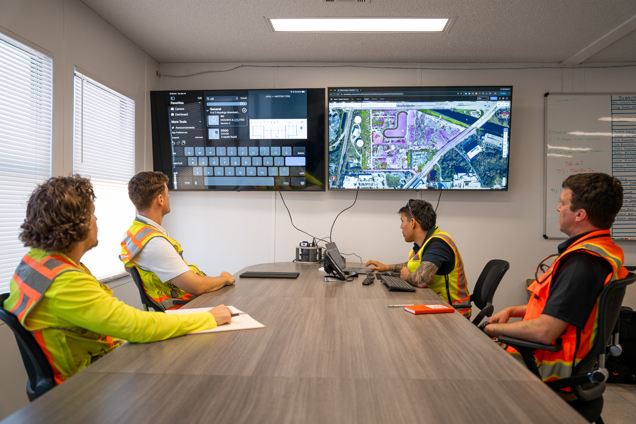
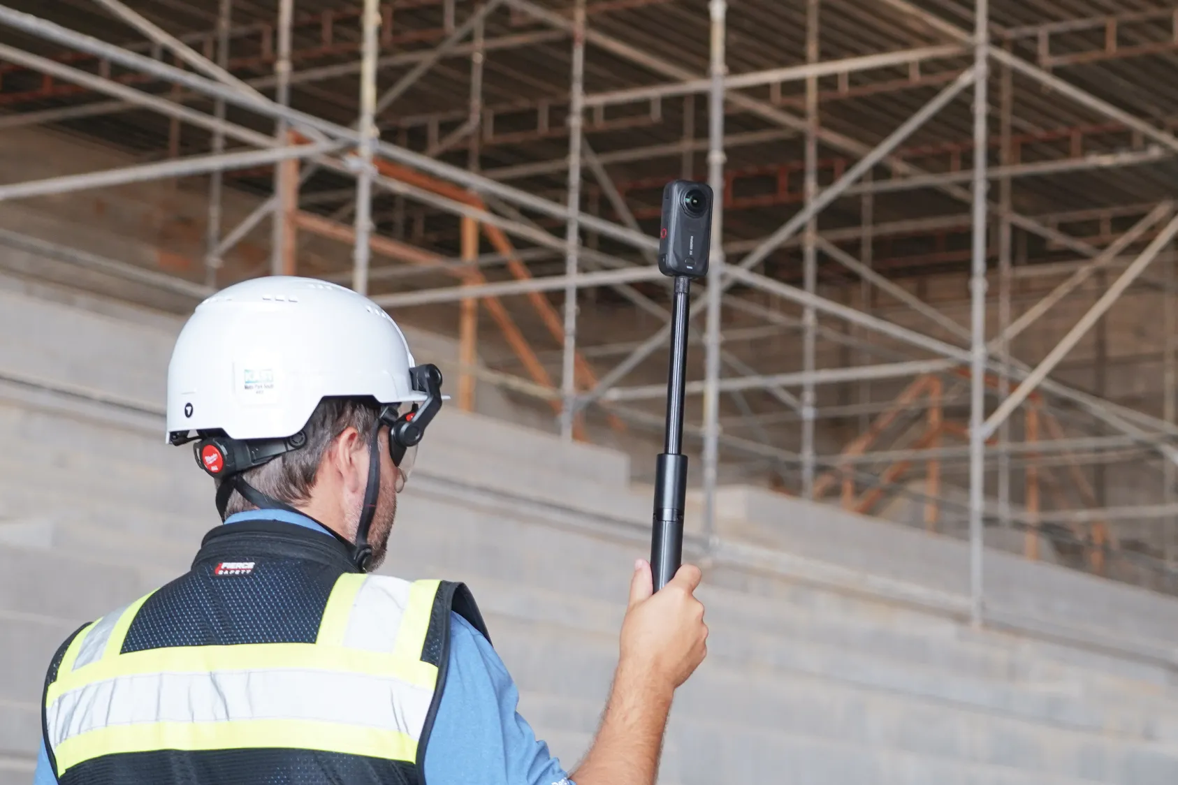
Aerial maps and 360 walkthroughs put the site in reach in a few clicks, instead of scattered reports and secondhand accounts. Comparing progress against project plans catches issues early and confirms work is built to spec.
Reality capture documents the jobsite from precon to closeout in one record. Stakeholders check real-time updates instead of scheduling a site visit, and everyone works from the same view of the project.
Buying into reality capture means buying down risk
Rework is one of the most expensive problems on a jobsite, and it usually starts small. Incorrect concrete placement, underground utility strikes and other minor mistakes can turn into large line items once they're discovered late. Older tracking methods make it easy to miss those details until they surface in a change order.
3D models and aerial maps give teams a view of the site before anyone sets foot on it, so issues can be caught while they're still small enough to fix on the fly. That kind of visibility means problems get flagged before they turn into rework or push the schedule back.
Concrete pre-pour reports and other AI tools flag errors automatically as they happen, so teams get an early read on quality without adding another trip to the site. The result is fewer disputes, clearer communication between stakeholders and a project that finishes closer to plan.

Avoid jobsite tunnel vision
Photos, meetings and spreadsheets leave gaps and slow down communication across a team, and those gaps tend to widen as a project grows. Reality capture replaces fragmented updates with a detailed record of the site that gets updated as the project moves forward.
Teams can compare current conditions against historical data, including what sat behind walls or beneath surfaces before it was covered over. Drone scans, 3D models and 360 walkthroughs give teams a view of the site that photos and spreadsheets can't provide on their own. From the first day of a project, that record helps teams make decisions based on current conditions, catch mistakes early and keep everyone working from the same data.
See how other owners use reality capture on their projects:
Encouraging adoption of reality capture
Reality capture works best when it fits into work a team is already doing, like a site walk, a weekly report or a call with the field. Crews already document progress and check details against plans, and reality capture gives them a faster way to do that rather than an extra step added to their day. Once a report or a walk includes the same drone maps or 360 walkthroughs from the week before, using it becomes part of the routine instead of something new to learn.
To hear more about why owners and contractors are choosing reality capture, watch the full recording here:
.png)
FAQ
Related articles
Ready to learn more?
Contact sales to see how DroneDeploy can give your teams the power to document and analyze your sites from the air and ground – all in one AI-powered platform.