Utilities

Get a digital record of every line, trench and substation

Document your network with drones, 360 cameras and robots to build a live, shareable record that reduces strikes, outages and truck rolls.
Used on 3 million sites in 180 countries

Stop digging and driving blind around critical infrastructure.

Locate & avoid

Know what’s there before you break ground.

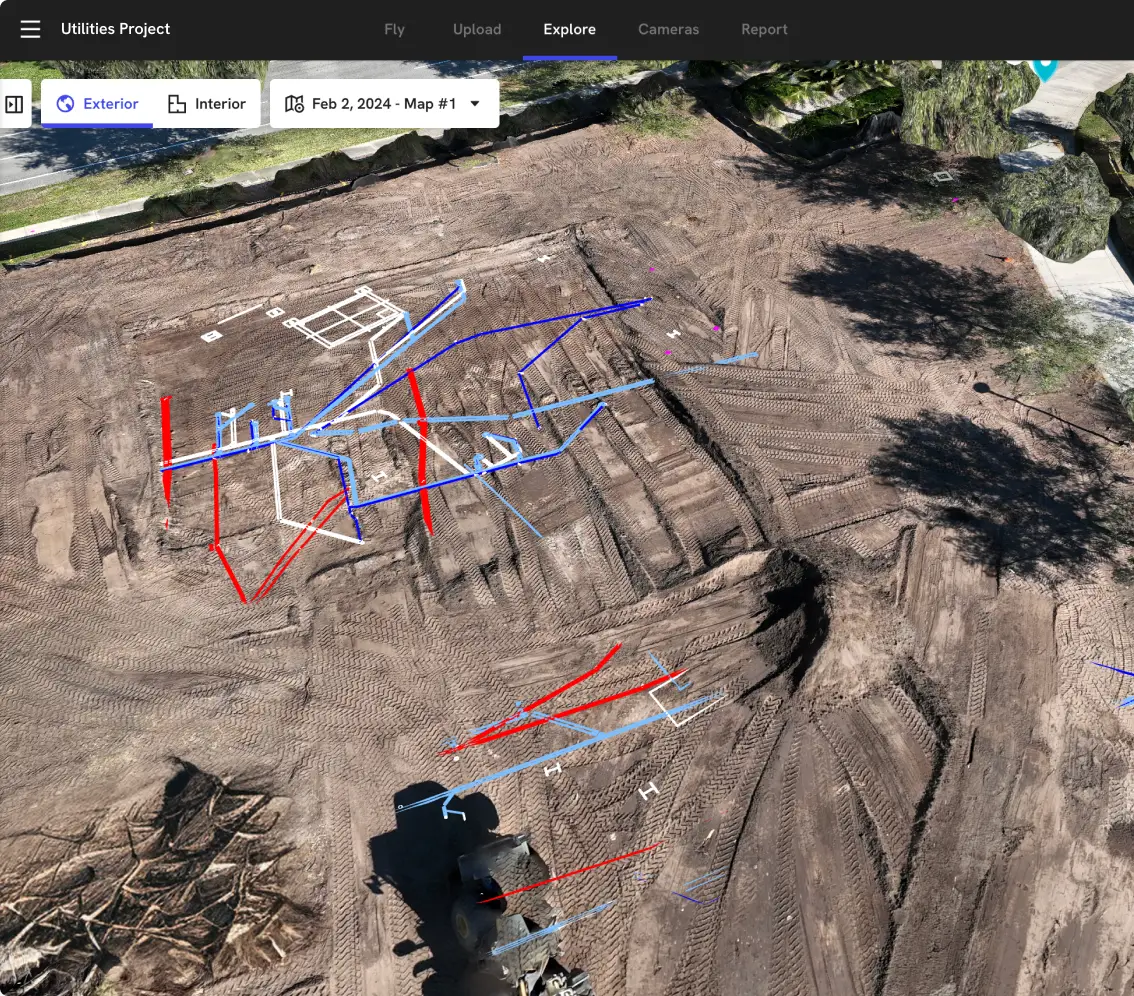
Consolidate records and field locates into a single map so crews see gas, power, water and comms lines before they dig or dispatch equipment.
Install & document

Capture utilities before they disappear.

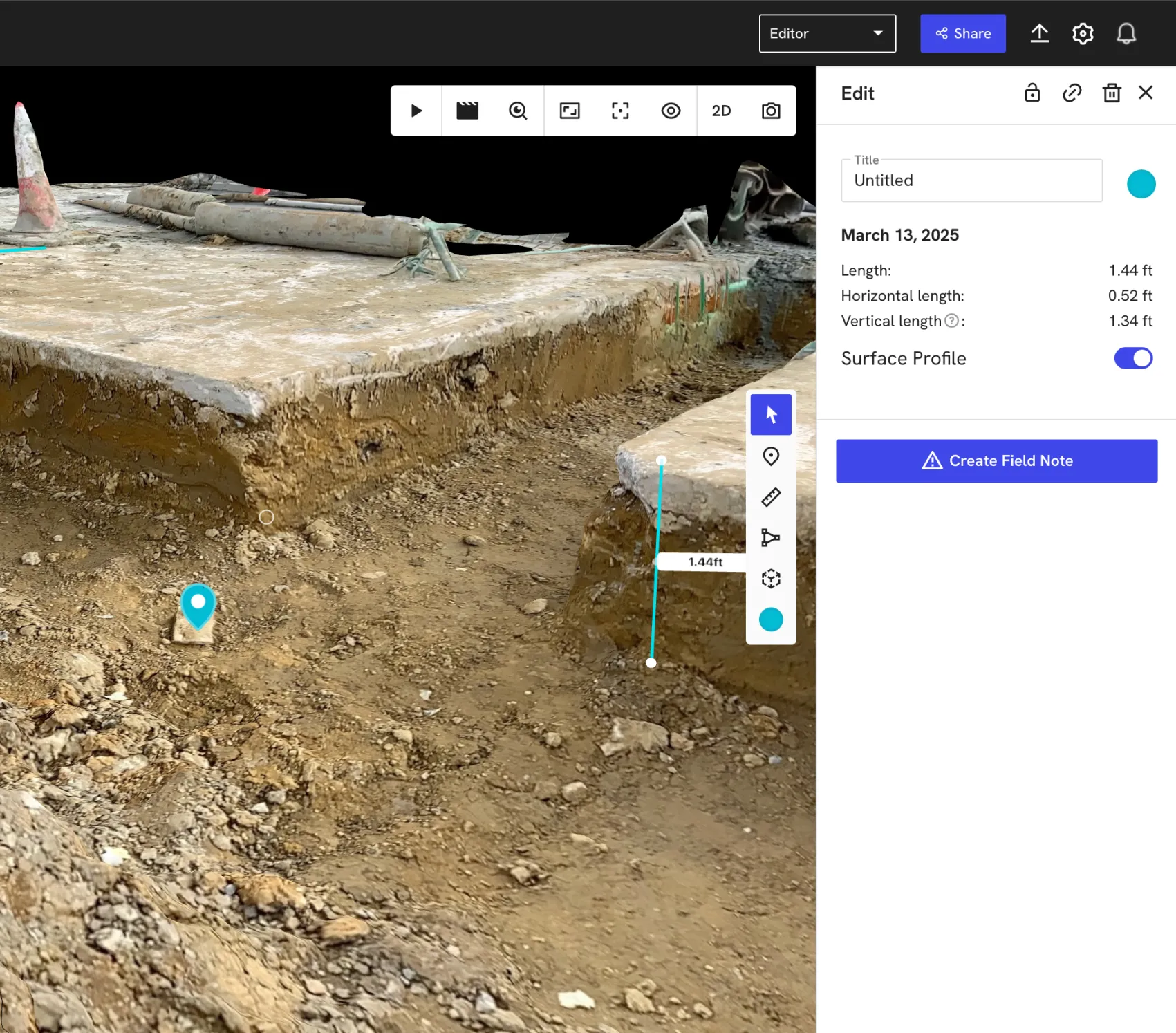
Record coordinates, depth and photos during open trench conditions so new pipes and cables are documented accurately before backfill.
Inspect & maintain

Keep people and service out of harm’s way.

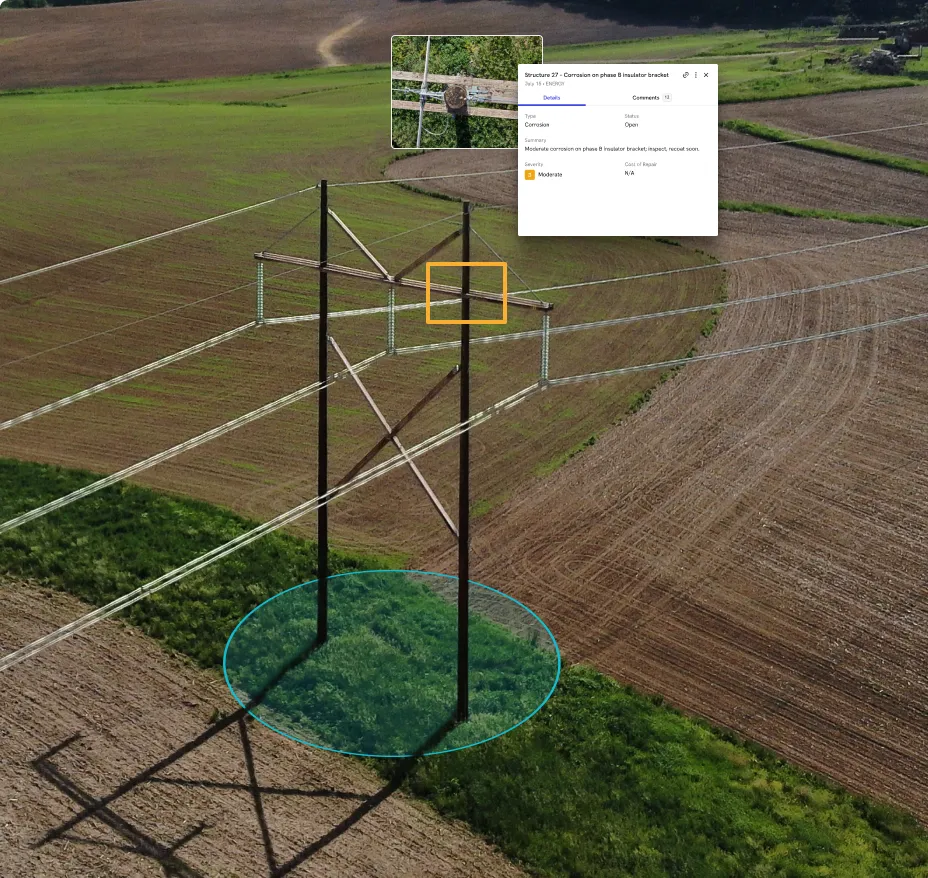
Use aerial and ground capture to inspect overhead lines, poles, substations and vaults without climbing, lane closures or helicopter flights.

Capture every asset from every vantage point

DroneDeploy Aerial
Network-wide visibility in every flight
Map corridors, trenches and rights‑of‑way in minutes
Produce high‑accuracy orthos and 3D models for design and as‑builts
Overlay locator and GPR data on current site maps
Monitor poles, towers, lines and access roads for change over time
Capture storm events and damage for claims and regulatory reports

DroneDeploy Ground

Autonomous inspections from the ground up
Walk trenches and vaults with 360 cameras in a single pass
Document paint marks, depth stakes and connections before backfill
Use robots to inspect substations, switchgear and equipment rooms
Pin issues and near‑misses directly to imagery and plans
Combine ground walkthroughs with aerial maps for a digital twin of each site or corridor

Need a full feature list and custom quote?

Supported hardware

Build your fleet
(or let us do it for you)
Drones

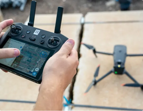
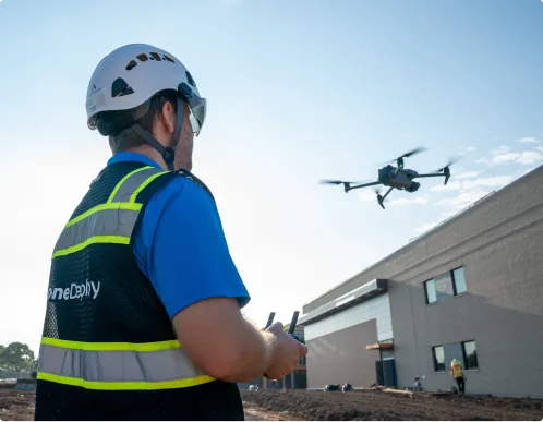
Our utilities inspection software integrates with leading enterprise‑grade drones, including simplified RTK/PPK workflows and automated GCP handling when survey‑grade accuracy is required.
Get the right drone for your network

360 cameras

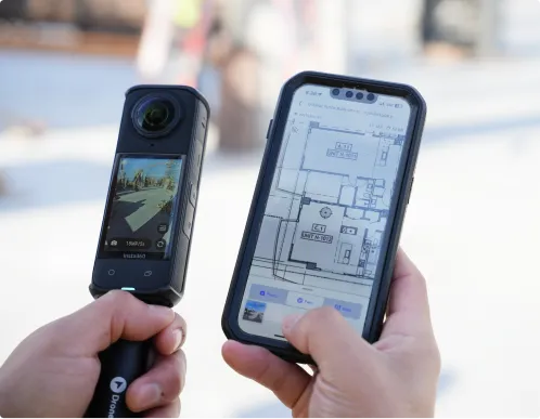
Document manholes, vaults, tunnels and control rooms with fast 360° walks that give engineers, locators and operators virtual access without repeated site visits.
Order a 360 camera kit

Docks and robots

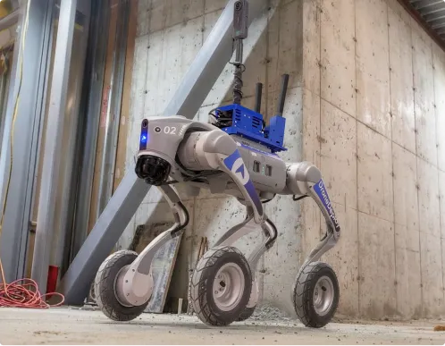
Deploy docked drones and ground robots to run repeatable inspection routes along lines, around substations and through plants – creating a consistent visual history without sending people into hazardous zones.
Get a robot on your site

Data on demand

Need the data but don't have pilots or hardware yet? Use our services network to capture key corridors and facilities at the cadence you need, with processed maps, photos and models delivered straight into your DroneDeploy account.

Get your data delivered to you
Integrations

Don't just collect data – connect it.

See all 80+ integrations

Maximize efficiency and safety across your network

See underground
Track progress
Coordinate trades
Verify payments
Drive ROI
Protect your teams
“DroneDeploy is our Digital Dig Board.”
Stuart Drahota
SE Region Innovation Lead
See how
"Progress AI gets us all on the same page in OAC meetings. And saves our PM a 6-hour drive to the site."
Malik Hogan
ConTech Specialist
See how
"Using DroneDeploy in trade coordination meetings is super valuable – it saves us from having to climb out onto the building."
Josh Stewart
Sr. Superintendent
See how
"If they claim 100% of the work is done but it’s actually 80%, we can prove it with a specific 360 scan."
Elliot Edworthy
Site Manager
See how
"With DroneDeploy, we’re blowing way past 5x savings."
Matt Craske
Former Head of
Global Program
Controls, Google
See how
"Being able to capture data without putting people in the line of fire is huge."
Jamie Hansen
Principal Advisor
See how
Frequently asked questions

Is DroneDeploy the right fit
 for your utility operations?

Do we need in‑house drone pilots or our own hardware to start?

You don’t. You can start with Data on Demand to order flights and ground capture on‑demand, then introduce your own drones and 360 cameras as your program grows.

We already use locators and as‑built drawings. Do we really need this?

Locating finds the lines; DroneDeploy records them. Combining both gives you a permanent, visual, geo‑referenced record that reduces repeat locates, disputes and future strikes.

Is this only for large investor‑owned utilities?

No. It’s used by IOUs, co‑ops, municipal utilities and contractors. If strikes, outages or truck rolls impact your margins or reliability metrics, you can benefit.

Can DroneDeploy meet our security and compliance requirements?

Yes. Enterprise utilities customers use DroneDeploy as a central platform for flight operations and data because it offers encrypted data at rest and in transit, role‑based permissions, and enterprise‑grade controls including SOC 2 and ISO 27001 certifications.

Can I trust this data for permitting, compliance and claims?

Yes. Measurements, coordinates and imagery are tied together so you can show exactly where assets were, what was installed and what changed when incidents occur.

How does this help if we manage assets across multiple districts or regions?

DroneDeploy gives engineering, operations and safety teams a shared, dated view of every site. Field crews capture once; everyone else reviews from their desk.


Getting started is simple. Request a demo today.