Energy: April 2023 Product Release
.svg)

Quick Summary
More Unified
All your reality capture data across the asset lifecycle, accessible with one login.
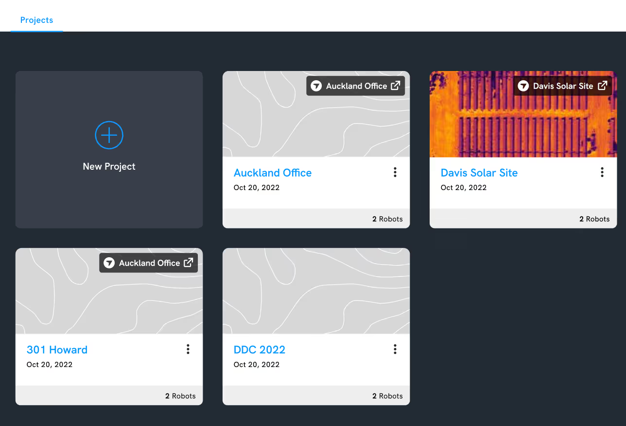
Robotics project linking
Now, in addition to logging into the Robotics portal with your DroneDeploy login, you can link your Robotics project with a DroneDeploy project, and vice versa. Linked projects will have the same permissions across both applications, with Robotics respecting the permissions set up in DroneDeploy.
With all of your data in one place, you can access projects from a single login for everything DroneDeploy. Your existing SSO and preferred login methods with multi-factor authentication can be used across the Robotics and DroneDeploy platforms.
More Automated
Convenient, scalable data collection without putting field teams in harm’s way.

Browser notifications
It’s important to maintain visibility of robots and be able to respond to issues quickly when they arise. With our new notification tools, you can receive alerts about the status of your robot’s missions (e.g. started, successful, failed). The status and notifications of all robots in a project can be viewed in one place.
You can also get notified immediately through your browser if a robot is stuck, lost or has a low battery level, so you can rectify the issue before the robot goes flat on a remote site.
Finally, you can use robot telemetry to set up customized alerts for anything of interest. An example of this would be gauge readings, thermal or gas readings that fall outside specified thresholds, so that your operators are informed when intervention is needed.

Spot map anchoring
Our new Spot anchoring feature ensures that data captured by Boston Dynamics’ Spot is tied to the correct location. You can upload control points or fiducials as a .csv file, visualize these markers in our 3D environment and use them to anchor Spot’s map to real-world locations.
This keeps Spot’s map accurate and prevents drifting when mapping large facilities and sites. It also means you can overlay other geolocated data such as drone maps, 3D models and point clouds and it will line up accurately with Spot’s map in DroneDeploy. This is a particularly powerful tool for geolocating media in indoor environments where GPS cannot be used.
More Intelligent
AI-driven insights that provide real value for your business.

High-resolution processing
For customers who want the best 3D reconstruction you can buy, we’re excited to announce “Hi-Res Mode” processing for Enterprise. This new processing mode harnesses our next generation photogrammetry engine and most powerful cloud computing available to create the best possible 3D models from your imagery. Make the most of your high-resolution cameras such as the Zenmuse P1, Phase One or large format cameras. Notable features include:
- 6x point cloud density + fine-structure detail on all drone maps
- GPU-powered processing on massive cloud servers
- Photo-resolution 3D model textures (e.g. DJI P1 & Phase 1)
- Support for large format cameras (e.g. Phase 1)
With this update, now you can see ultra-fine detail on asset inspections such as equipment integrity inspections and 3D reconstruction of thin structures such as towers, onshore oil and gas facilities, and offshore platforms.
Autonomous RTK flight on the DJI Mavic 3E
High-accuracy mapping just got an upgrade. Autonomous RTK flight is now available on DroneDeploy for DJI’s flagship enterprise drone, the Mavic 3 Enterprise (M3E). Now you can easily plan autonomous missions without GCPs or time-consuming manual methods, and collect more accurate and consistent data on your jobsite or project.
DroneDeploy's Flight app for the M3E allows you to automatically connect to local high-accuracy corrections networks for free, reliable RTK coverage across the USA. Instantly connect to RTK as soon as your drone is powered on and connected to DroneDeploy, with no additional app or external credentials required.
With this update, you can now plan and execute M3E flights with RTK corrections directly from the RC Pro Enterprise smart controller. Alternatively, plan your flight from the comfort of your office with desktop flight planning, including RTK availability confirmation for your project. Two convenient ways to start creating maps accurate to less than an inch, without GCPs.
In early May, DroneDeploy will also be rolling out Vertical Datum support. RTK data uploaded to DroneDeploy will be automatically converted to ITRF2014 ellipsoidal height to local orthometric height, using the most up-to-date local Geoid Model. This will enable customers to immediately compare RTK data over time, or to engineering design data in State Plane and NAVD88.
For an in-depth analysis of the accuracy of the M3E RTK using DroneDeploy, read our whitepaper.
RTK data can help you to more rapidly use drone data to do jobs like:
- High-accuracy mapping for site planning and reclamation
- Accurate pipeline mapping and right-of-way monitoring
- Precision mapping for consistent change-over-time inspections
Learn how to download DroneDeploy for the M3E on the Amazon Appstore.

Smart Uploader enhancements
Simplify your media upload process with the new Smart Uploader functionality. We’ve made updates to ensure a more reliable and user-friendly experience.
- Create a new project by uploading image-based data. When you drag and drop any image-based (map, pano, photo group, facade) files into Smart Uploader, it will automatically identify the location of the project and ask you to name it. This speeds up project creation for plans flown outside of DroneDeploy.
- Merge plans that were separated in Smart Uploader. The Smart Upload process is now more flexible than ever. When you upload a photo plan, you can now select Merge Plans to merge two detected photo plans into one.
- Pause and resume upload later. Eliminate frustration from attempting to upload on low bandwidth in the field. With this update, you can pause and resume an upload at a later time when you have access to a faster connection.
- Upload Walkthroughs. Users can now upload Walkthrough files (.insv) captured outside the Walkthrough app through the Smart Uploader.
That’s it for our April product release – as always, we’re continually striving to improve and hope these updates have a positive impact on your workflows.
Missed our Previous Updates?
Find out how we’ve improved DroneDeploy in recent months:
.png)
FAQ
Related articles
.jpg)

Ready to manage your data from the very start?
Book a quick call to see how DroneDeploy streamlines capture from construction through building ROI.